Enterprise Applications
INSPECTIONS
Safely and quickly, Max Air Images will deliver the images and data you need, when you need it.
Our trained UAV pilots will capture the visual images, infrared data and other critical information you need to keep your operations on-line. Incorporating the latest data-capturing software, we can handle one-off or large-scale, recurring-inspections, that capture the same exact images over multiple flights*.
Sample Applications:
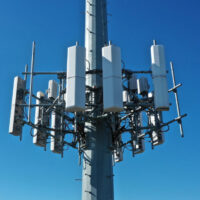
- Cell Towers
- Power Transmission Grids
- Solar Installations
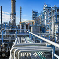
- Refineries
- Pipelines
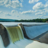
- Bridges & Dams
- Roofs
- Stacks
- Roads
- and Countless Other Applications
*Preferred pricing for recurring projects.
CONSTRUCTION
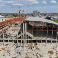
Our professionally trained UAV pilots will quickly and efficiently deliver the images and data you need at your commercial or residential job site, including:
- Site selection
- Egress identification
- Aerial updating of your project progress
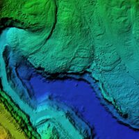
- 2 and 3D Mapping
- Inspections and measurement
INSURANCE
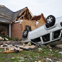
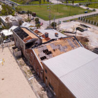
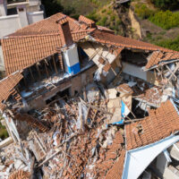
Inspecting property damage in detail, quickly and accurately, is now possible with moder drone technology.
Using HD photography, 4k video and infrared imaging, get the data that will empower your adjusters to make claim decisions quickly while delivering a positive customer experience. Aerial data allows you to compare before and after images to make more informed decisions, as well as more accurately create new policies.
DISASTER SUPPORT
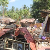
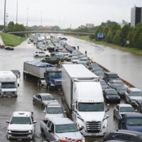
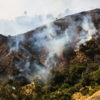
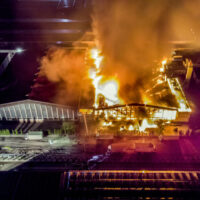
Analyze dangerous situations quickly and safely from above. When disasters strike, having eyes in the sky will speed up response time and arm your ground team with the data they need to create safe rescue and suppression/management/control plans. Infrared technology helps identify and locate those in danger and hot spots to keep your team safe.

